By: Laura Allen
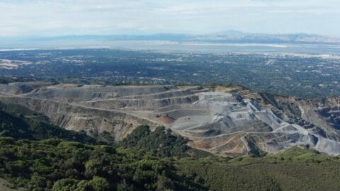
Continuous wide-area displacement monitoring in an active mining environment, comparing Sentinel-1 and TerraSAR-X Author: Dr. Ben Conway-Jones, InSAR Specialist, CATALYST Following several high-profile failures at mine sites, including the Brumadinho tailings dam collapse in 2019, operators […]
Read MoreBy: CATALYST
Innovative pilot project combined Earth Observation data, analytics derived from satellite imagery and weather forecasting to explore how flooding and vegetation risks could be identified earlier to improve inspection and decision-support. London, August 10, 2026 - […]
Read MoreBy: CATALYST
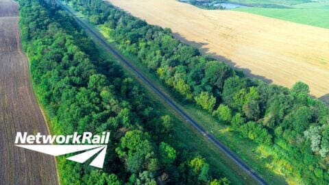
An exploratory pilot project in conjunction with Network Rail's Wessex Route Britain's rail network faces a growing challenge. Climate variability, ageing earthworks and dense vegetation corridors are driving up the frequency and cost of weather-related disruption: […]
Read MoreBy: CATALYST
The next chapter in industry leading geospatial intelligence TORONTO, Ontario — July 29, 2026 — PCI Geomatics Group Inc., which operates as CATALYST, today shared that it has entered into a definitive agreement to be acquired by Intermap Technologies Corporation, a […]
Read MoreBy: CATALYST
CATALYST has demonstrated full onboard orthorectification, geolocation correction, and band alignment of a full multispectral scene in 5.5 seconds on NVIDIA Jetson Thor hardware, validating real-time edge processing for satellite constellations.
Read MoreBy: CATALYST
CATALYST used multispectral satellite data to monitor FIFA World Cup 2026 pitch conversions and highlight the potential use of Earth Observation for asset management. A World Cup pitch is one of the most scrutinized surfaces on Earth, watched in real time by billions […]
Read MoreBy: CATALYST
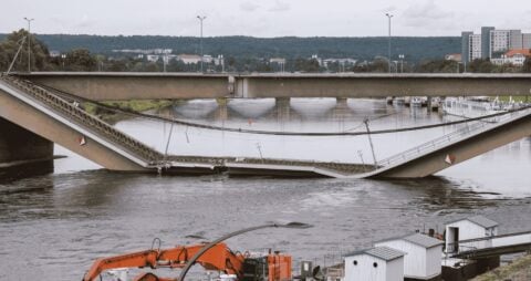
Europe's infrastructure is ageing. Across the continent, many structures are approaching or exceeding their design lives, representing a substantial and growing maintenance liability. Most of the time, deterioration is gradual and manageable. On 11 September 2024, […]
Read MoreBy: CATALYST
Ottawa, Ontario – 30th April, 2026 - PCI Geomatics (DBA CATALYST), a leading provider of Earth observation analytics and intelligence solutions, has launched UrbanSAR, a satellite monitoring solution that detects how individual buildings are moving, floor by floor, across entire […]
Read MoreBy: CATALYST
UK Space Agency-funded pilot combines Earth Observation imagery with AI to help insurers assess nature-related risk and support emerging biodiversity regulations London, Thursday 23rd April—CATALYST (PCI Geomatics), a specialist in Earth Observation analytics, and DUAL, one of the world’s largest […]
Read MoreBy: CATALYST
This introductory webinar will demonstrate how CATALYST helps transform Earth Observation (EO) data into clear, consistent, and decision-ready information. About This Webinar This webinar is presented in collaboration with ImagenGeo. To learn more about ImagenGeo’s geospatial […]
Read MoreBy: CATALYST
Tunnelling projects are among the most complex and challenging geoengineering endeavours, requiring a comprehensive understanding of risks including ground instability, active faulting, groundwater ingress, and settlement-induced damage. As a result, engineers rely on a wealth of […]
Read MoreBy: CATALYST
Satellite Interferometric Synthetic Aperture Radar (InSAR) provides spatially continuous ground deformation measurements across wide areas. As a fully remote technology capable of detecting millimetre-scale displacement, InSAR is increasingly being integrated into engineering projects as both a […]
Read MoreBy: CATALYST
Upcoming Webinar | Wednesday, May 20 at 10:00 AM (ET): Integrating InSAR (Interferometric Synthetic Aperture Radar) into Engineering Geological Practice: Urban Excavation and Slope Failure Case Studies from Italy Learn how InSAR (Interferometric Synthetic Aperture Radar) can be applied to investigate […]
Read MoreBy: CATALYST
How CATALYST Empowered Student Innovators at NASA’s Global Hackathon When fourth-year students Frank Tan and Isaac Huang walked into the University of Waterloo's NASA International Space Apps Challenge last October 2025, they were about to tackle […]
Read MoreBy: CATALYST
Industry-First Near Real-Time Orthorectification and Geolocation Directly on Orbit Transforms Speed-to-Insight for Earth Observation Missions Update (July 23, 2026): Since this announcement, CATALYST has achieved another major milestone by processing a full multispectral satellite scene in […]
Read MoreBy: CATALYST
How CATALYST'S INSIGHTS Horizon delivers rapid, reliable intelligence directly to maritime and land agencies for faster, more accurate response operations. At a time when border security has never been more geopolitically charged, pressure on land and […]
Read MoreBy: CATALYST
Advanced Earth Observation Service Delivers Rapid Intelligence from Any Satellite Constellation for Maritime and Land-Based Security Operations TORONTO, 2025/10/30 — PCI Geomatics (DBA CATALYST), a leading provider of Earth observation analytics and intelligence solutions, announced the […]
Read MoreBy: CATALYST
CATALYST has added support for PhaseOne's IIQ format for faster, more powerful processing of large aerial projects. With the most recent release of the company's CATALYST Enterprise software, aerial customers that process large volumes of PhaseOne […]
Read MoreBy: CATALYST
CATALYST has been selected by the UK Space Agency to participate in a groundbreaking £1.5 million funding programme to transform how Britain addresses climate change and transport challenges through innovative space technology solutions. The company will […]
Read MoreBy: CATALYST
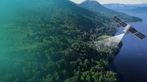
Vegetation encroachment remains the leading cause of power outages for electric utility companies.Innovation using satellite imagery can reduce typical annual management cycle costs by 40%, prioritizingareas of the highest risk with targeted vegetation management solutions. Find […]
Read More