Catalyst.earth Logo
Catalyst.earth Logo

SAR & INSAR

Sensor-agnostic, highly accurate and automated algorithms that support common Synthetic Aperture Radar (SAR) imagery and workflows

Image of ground satellite stations

A New Era for SAR

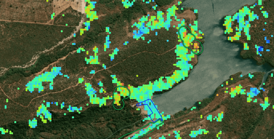
Embrace the exciting rebirth of Synthetic-Aperture Radar (SAR) based earth observation with powerful algorithms that have been developed by leading experts. With so many free and commercial constellations already providing terabytes of data on a daily basis, the opportunities to conduct science and develop services have never been better. Leverage the power of the CATALYST platform to implement automated SAR workflows.

SAR Interferometry (InSAR)

SAR Interferometry is a proven technique to derive valuable information for ground displacement applications. The CATALYST team has developed advanced InSAR capability and put together a team of experts to support your project. We use state of the art techniques to generate the highest quality information.

FEATURE HIGHLIGHT: PROJECT PLANNING AND COVERAGE ASSESSMENT

Let our team work with you to best analyze your area of interest and make recommendations for optimal InSAR ground displacement data generation. We will gladly work with your area of interest and determine what coverage to expect.

SAR Object Analysis

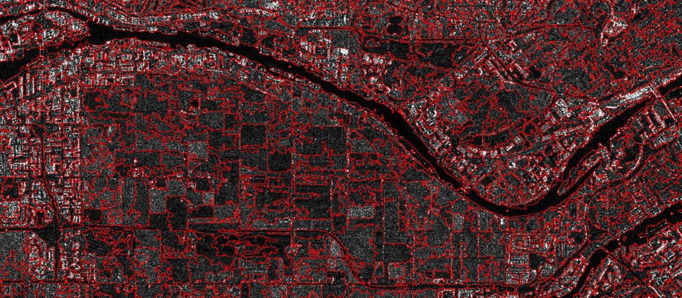
Object Based Image Analysis (OBIA), a segmentation-based approach to image classification, can greatly benefit from fusing SAR and Optical imagery. The CATALYST platform leverages rigorous algorithms to best pre-process SAR imagery and improve the signal-to-noise ratio. For single, dual, quad, or compact polarized data, derived statistics can be extracted from either the intensity or the phase-and-magnitude elements of the signal (e.g. polarimetric decompositions), thus providing more information to achieve class separation and deriving finer details.

FEATURE HIGHLIGHT: DATA FUSION

Segmentation and classifications performed on SAR images can be augmented by statistics extracted from other sources, including optical imagery or any other spatially overlapping data. Deriving accurate results requires good segmentation of SAR imagery, made possible through proper pre-processing of the imagery.
Image of SAR objects

SAR Change Detection

Change detection is predicated on highly accurate image co-registration, which is a key strength of the CATALYST platform. Change detection algorithms can help you leverage intensity or the phase-and-magnitude elements of the signal, and quickly derive change information layers.

FEATURE HIGHLIGHT: COHERENT CHANGE DETECTION

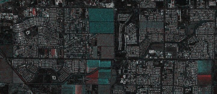
Repeat pass SAR images can be used to derive changes in coherence. Since SAR is highly sensitive to moisture as well as structural differences between acquisitions, patterns of change can be highlighted.
Image of SAR CCD

Sensor Support

You can work with many different types of SAR images in the CATALYST platform and maintain the integrity of the signal to fully leverage the information contents. Work with slant range, complex data formats natively without having to resample or project to ground range. Support for single, dual, full, and compact polarizations.

FEATURE HIGHLIGHT: PRECISE ALIGNMENT OUT OF THE BOX

Specific support to properly align SAR imagery through the use of state vectors ensures your analysis can be easily integrated with other data types, including optical imagery, of other GIS data layers. Precise image correction algorithms to co-register and orthorectify imagery and derived products ensure highly accurate.
Supported Sensors
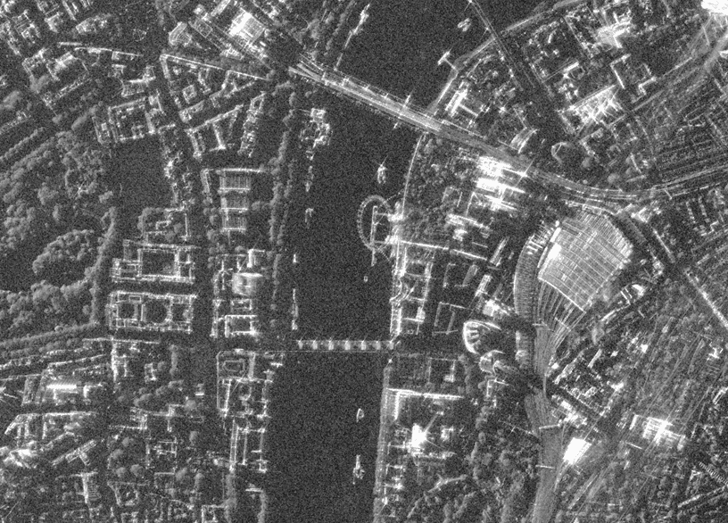
Satellite image of Central London and The Thames from space

Get started today

Our competitive plans remove the traditional barriers of accessing professional software for processing and analyzing earth observation imagery and is trusted by thousands of geospatial professionals from around the world.
envelopephone-handsetcross