Catalyst.earth Logo
Catalyst.earth Logo

CATALYST INSIGHTS · Interactive Demos

See the ground move, millimetre by millimetre

CATALYST INSIGHTS turns satellite radar (InSAR) into an interactive map of surface movement.

Request access here to explore live demos of globally monitored sites, no software to install.
Explore bridges, coastal developments, landslides and volcanic ground, in your browser
Traverse through time to watch deformation develop
Instant access - we email you the link so you can return anytime
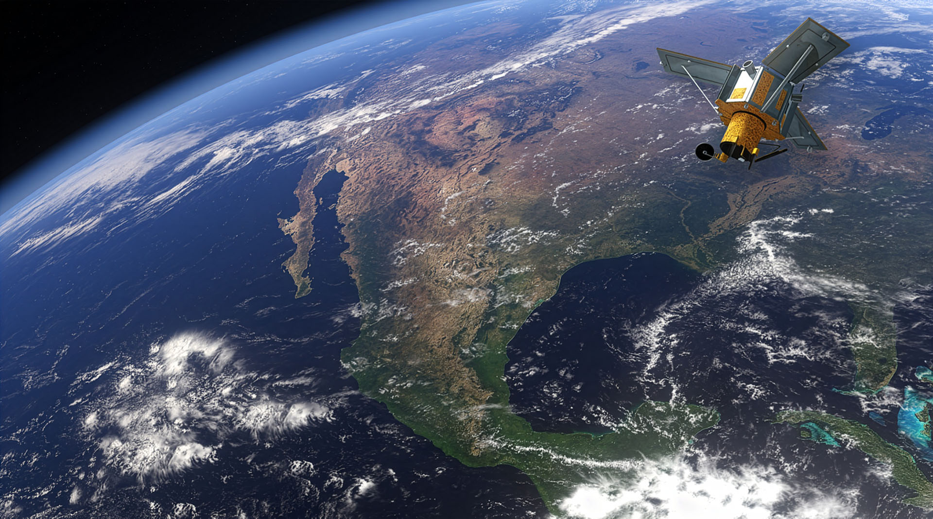
A satellite in orbit around the earth, scanning Central America
Get instant demo access
Fill this in and you'll be taken straight to the demos. Takes about 20 seconds.

"*" indicates required fields


This field is for validation purposes and should be left unchanged.
Your Name*
We'll email your demo link here.
Join our newsletter?
This field is hidden when viewing the form

Hidden Fields

Fields that are used to capture dynamic parameters for tracking and marketing purposes.

What the demos show
Each demo is a working slice of the CATALYST INSIGHTS platform, loaded with actual satellite data for a specific site. No downloads, no setup, just the same tools our risk monitoring customers use day to day.

InSAR monitoring you can click through

Millimetre-scale movement

Millimetre-scale movement

Interferometric SAR detects surface displacement down to a few millimetres per year, mapped across the whole site rather than at a handful of sensors.
Movement over time

Movement over time

Drag the time slider to watch how deformation builds across months and years, so you can separate seasonal signal from a genuine trend.
Point-level detail

Point-level detail

Click any measurement point to see its full displacement time series and velocity, then compare points across an area of interest.
No ground instrumentation

No ground instrumentation

Coverage comes from satellite radar, so you can monitor remote or inaccessible assets without installing or maintaining field hardware.
Historical baseline

Historical baseline

Radar archives let you look back over past years to establish what "normal" movement looked like before an event of interest.
Runs in the browser

Runs in the browser

The demos are the live web platform, not a video. What you do in the demo is what the tool does with your own sites.

Available demos

Pick a site and explore

Actual preprocessed Sentinel-1 InSAR scenes across different sectors. Complete the form above once to unlock all of them.
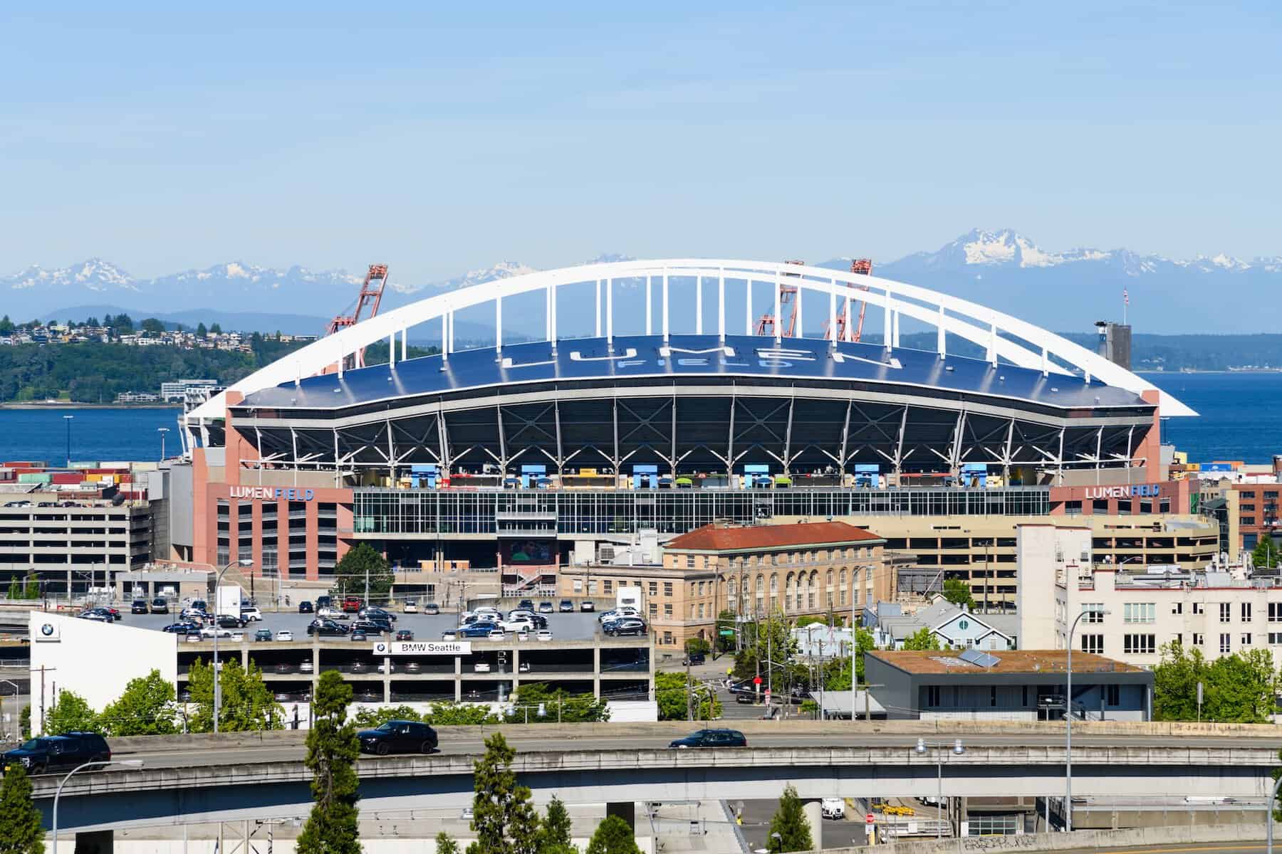
Lumen Field, Seattle, USA

Lumen Field, Seattle, USA

This demo presents Sentinel-2 multispectral imagery and NDVI analysis across the Lumen Field pitch, tracking the full conversion from synthetic turf to natural grass ahead of the FIFA World Cup 2026.

View the demo →
Carola Bridge, Dresden

Carola Bridge, Dresden, Germany

This demo presents Sentinel-1 InSAR displacement data across the Carola Bridge and neighbouring Elbe crossings in Dresden, Germany, revealing signals preceding the bridge's collapse.

View the demo →
Palm Jabel Ali, Dubai, UAE

Palm Jabel Ali, Dubai, UAE

This demo highlights the use of Sentinel-1 InSAR to monitor ground deformation and settlement across the reclaimed land development of Palm Jebel Ali.
View the demo →
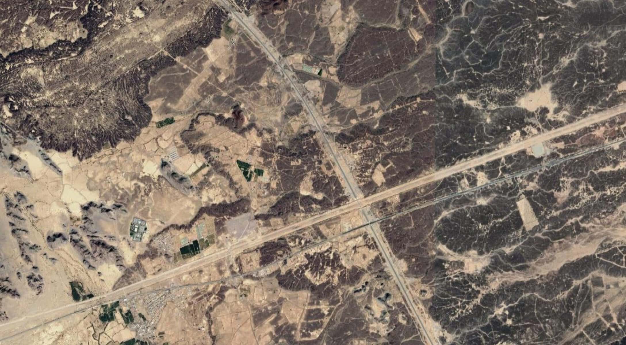
Al Negea'ah, Saudi Arabia ground deformation

Al Negea'ah, Saudi Arabia

This demo highlights the use of Sentinel-1 InSAR to monitor ground deformation linked to geothermal and near-surface volcanic activity in Al Negea'ah, Saudi Arabia.
View the demo →
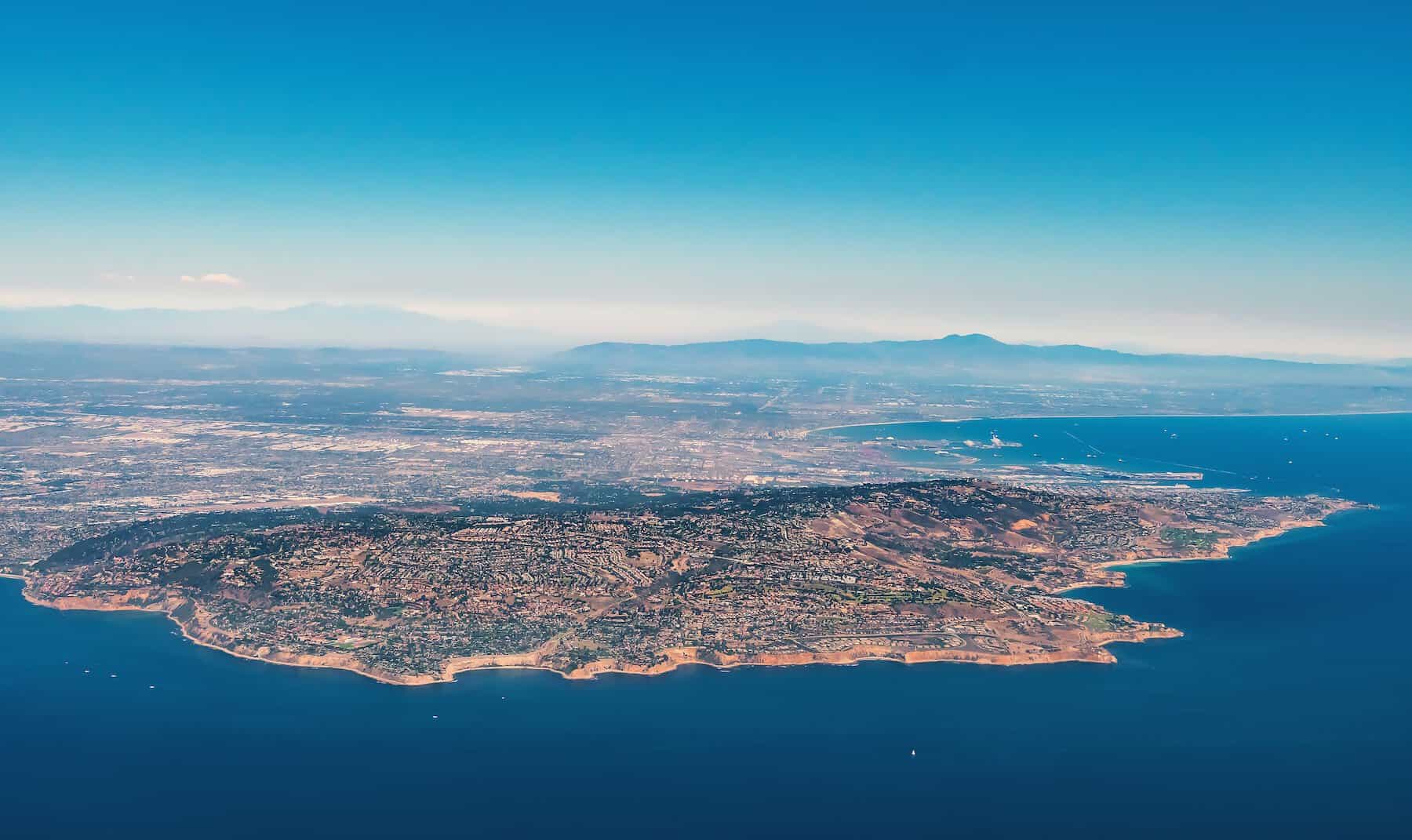
Palos Verdes, CA, USA

Palos Verdes, CA, USA

This demo showcases the use of Sentinel-1 InSAR to monitor ground deformation associated with active and slow-moving landslides in Palos Verdes, California, USA.

View the demo →
Do you want a demo over a particular site? Request access and let us know your area of interest.
Questions

Before you start

InSAR (Interferometric Synthetic Aperture Radar) is a satellite technique that measures how the ground surface moves over time by comparing radar images of the same area taken on different dates. It can detect displacement down to a few millimetres across a wide area, without any equipment on the ground.
No. The demos run entirely in your web browser. They are the live CATALYST INSIGHTS platform loaded with example data, not a recorded video.
Yes. Each demo is built using actual satellite radar data over the sample site. The movement patterns and time series you explore are genuine InSAR results.
Yes. If you want to see InSAR over a site that matters to you, our team can build a custom demo or set up trial monitoring for it. Get in touch on our contact page, tell us your area of interest, and we'll take it from there.
See the technology for yourself.
Tell us your requirements and expectations and our team will demonstrate our exceptional imaging and data solutions.
Contact Us
envelopephone-handsetcross