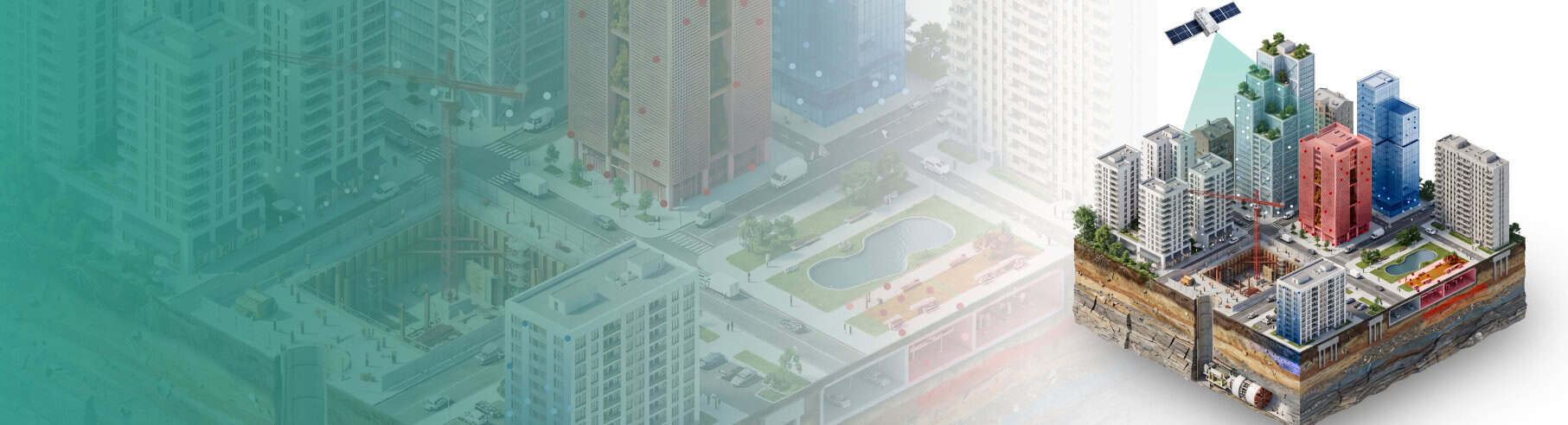
Ottawa, Ontario – 30th April, 2026 - PCI Geomatics (DBA CATALYST), a leading provider of Earth observation analytics and intelligence solutions, has launched UrbanSAR, a satellite monitoring solution that detects how individual buildings are moving, floor by floor, across entire city corridors. The technology uses Interferometric Synthetic Aperture Radar (InSAR), analysing radar signals from orbiting satellites to measure millimetre-scale structural movement, and extends decades of proven science into dense urban environments where conventional sensors have struggled to keep pace with construction.
Cities worldwide are building upward at an unprecedented pace. In a case study over Toronto's Yonge and Eglinton corridor, one of Canada's most active construction zones, UrbanSAR detected movement of up to 30 millimetres at the upper floors of newly built towers, the levels above where ground-based monitoring is typically focused. Dozens of high-rise buildings now sit directly above a new subway extension and alongside decades-old structures. Residents have reported sinkholes, cracked pavements, and road closures. Until now, there has been no practical way to see what is moving, where, and why across the full corridor.
Conventional monitoring is precise but limited to the single structure it is attached to. The tunnel underneath, the neighbouring tower, the road between them: all fall outside its reach. City-wide ground sensor networks cost millions and still leave gaps. UrbanSAR closes them by processing satellite radar through proprietary algorithms that strip away the masking effects of surrounding buildings, isolate individual structures, and map movement vertically along each tower, delivering continuous corridor-wide coverage at a fraction of the cost.
June McAlarey, CEO at PCI Geomatics said:
"Gaining accuracy in complex environments has always been a challenge when monitoring cities through satellite technology. Now we can show a construction firm what was already moving before they broke ground; an insurer the true extent of risk they were underwriting; and a city authority the consequences of densification they approved but were not monitoring. UrbanSAR data delivers the evidence that changes how decisions are made at a fraction of the cost of traditional surveys."
Kevin Jones, Chief Product Officer at PCI Geomatics said:
"Ground sensors are precise, but they only tell you what is happening for one point on the ground. If a new development corridor with 30 new towers is being constructed above a subway extension, it’s important to understand the full extent of displacement across the entire corridor, and not only where sensors have been installed. Our team has developed a fundamentally new product which has the ability to remove the masking effects of adjacent buildings, isolate single structures, and measure vertical displacement floor by floor."
UrbanSAR is available now as a service from CATALYST. Regulatory precedent for mandated satellite-based monitoring of urban construction already exists in Australia and the United Kingdom. The technology supports data from multiple satellite radar sensors and can be applied to any urban area globally.
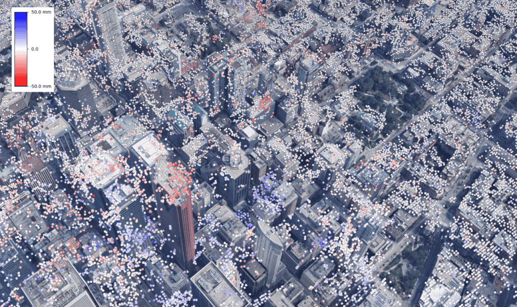
Pictured above: New construction within the Greater Toronto Area, with UrbanSAR displacement values derived from satellite imagery.
CATALYST INSIGHTS

CATALYST OnBoard

CATALYST Professional

CATALYST Enterprise
