Catalyst.earth Logo
Catalyst.earth Logo

Photogrammetry

High quality, accurate ortho-mosaics and valuable earth observation insights start with accurate pixel locations.

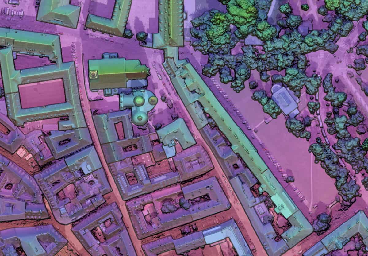
Image showing CATALYST Photogrammetry results

Overview

Our innovations in photogrammetry, image stack alignment, and mosaicking are helping our customers deliver high quality and accurate ortho-mosaics, image stacks, and DEMs on the planet. Use our off-the-shelf workflows or build your own with our Python API and powerful QA/QC tools.

Orthorectification

Designed to maximize automation, accuracy, and precision, our orthorectification workflows for satellite, and aerial imagery are packed with the top image matching, self-camera calibration, bundle adjustments, and model refinement algorithms of today.

FEATURE HIGHLIGHT: TIE IMAGE

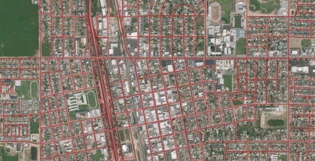
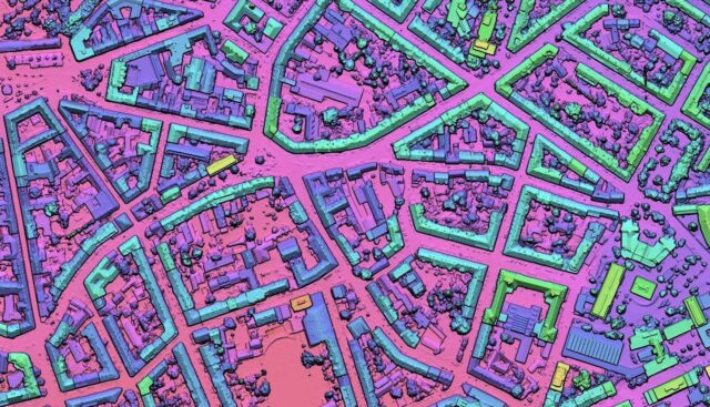
Our new Tie Image algorithm can reduce the GCP and Tie Point collection time by over 25%. Easily achieve perfect alignment with reference layers such as road center lines by simultaneously collecting GCPs and deep multi-ray tie points for the entire project.
Image showing roads using orthorectification

Image Stack Alignment

Comparing the changes between images taken at different times is a powerful source of information. Improving the positional accuracy of your image stack reduces false positives that skew analysis and require costly manual intervention. It is also a crucial step in creating Analysis-Ready Data (ARD).

FEATURE HIGHLIGHT: SUPER REGISTRATION

When sub-pixel isn’t good enough, our innovative Super Registration algorithms can deliver better than 1/10th of a pixel accuracy for combining satellite with aerial and even UAV images into a single image stack.

Change Detection

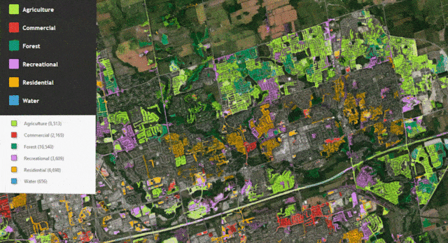
Detailed metadata at the image, band, and pixel level is stored within the CATALYST platform. Our spectral analysis tools give you the ability to assess vegetation health, mineral deposits, and the conditions of aging buildings and infrastructure.

FEATURE HIGHLIGHT: CHDETOP

Use over 27 different vegetation indices with VEGINDEX to measure vegetation density, general health, chlorophyll levels, and soil moisture.

DEM Extraction

Our multi-view semi-global matching (SGM) technique is the most robust, accurate, and precise way to extract 3D information from satellite and aerial images.

FEATURE HIGHLIGHT: MULTI-VIEW DSM EXTRACTION

This embedded technique calculates elevation measurements from multiple viewing angles and compares the measurements against one another using a sophisticated algorithm to determine the most accurate measurement for each pixel in your DEM.

Reliable On-Demand Production Section

Mosaicking is the science of creating beautiful natural-looking large-scale image composites of our world from many smaller images. Our mosaicking workflow consists of sophisticated automation to balance colors, and create seamless edges, as well as intuitive QA/QC tools that reduce manual time and costs.

FEATURE HIGHLIGHT: SMART GEOFILL

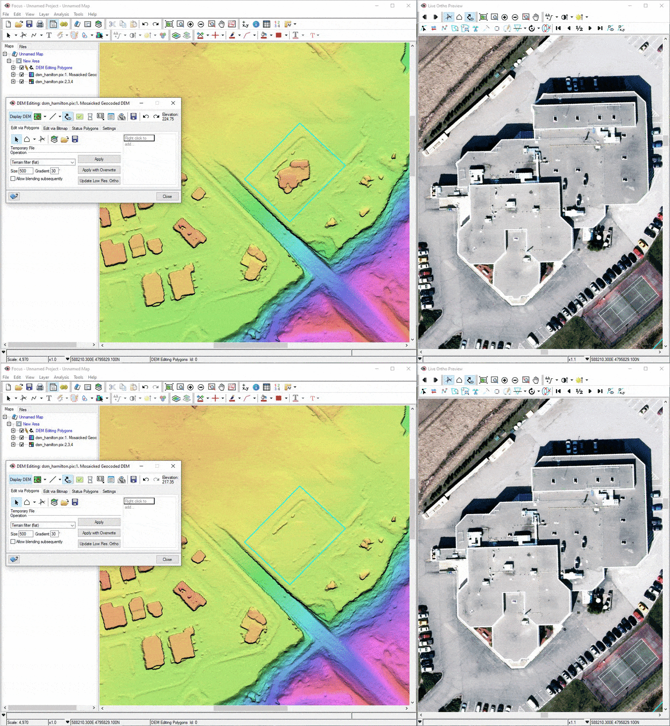
Easily fix any blemish on the preview and final mosaic with Smart GeoFill’s Photoshop-like approach that can be used to modify pixels in many ways.
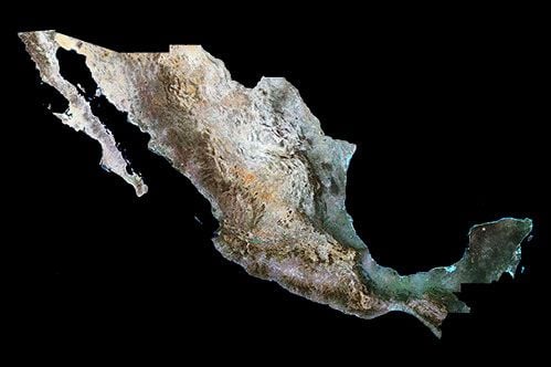
Satellite image of an island
Key Design Philosophy

REAL-TIME FEEDBACK

Our suite of photogrammetric tools are uniquely designed with a key philosophy, which is to provide real-time feedback to avoid re-work of projects. 

Across the workflow, we provide instant feedback to end users to confirm the quality of end products throughout the production process. 

Our mosaic tools also offer unique real time feedback on changes made to cutlines and colour adjustment points. 

We designed these tools to provide live editing feedback to allow you to produce consistent quality while reducing re-work. 

Our automated colour balancing methods produce superior results, with the option to make fine adjustments in difficult areas.
Animation showing editing in CATALYST Insights

Get started today

Our competitive plans remove the traditional barriers of accessing professional software for processing and analyzing earth observation imagery and is trusted by thousands of geospatial professionals from around the world.
envelopephone-handsetcross