UK Space Agency-funded pilot combines Earth Observation imagery with AI to help insurers assess nature-related risk and support emerging biodiversity regulations
London, Thursday 23rd April—CATALYST (PCI Geomatics), a specialist in Earth Observation analytics, and DUAL, one of the world’s largest international underwriting agencies, have successfully completed a pilot project that uses satellite imagery and artificial intelligence to assess biodiversity risk across the United Kingdom.
Funded through the UK Space Agency’s Unlocking Space for Business programme, the project was delivered over six months by DUAL’s climate risk and resilience team. The collaboration produced a scalable biodiversity assessment platform designed to support insurance underwriting, Environmental, Social and Governance (ESG) reporting and regulatory compliance. The partners will continue to develop the solution as part of DUAL’s broader commitment to environmental and climate risk innovation.
Insurers, landowners and asset managers face growing pressure to measure and disclose biodiversity risk. Biodiversity Net Gain (BNG) legislation, the Taskforce on Nature-related Financial Disclosures (TNFD) and Section 106 planning conditions are driving demand for reliable, scalable environmental condition verification data. Traditional ecological surveys which are labour-intensive, costly and difficult to standardise have limited the industry’s ability to develop consistent nature-related insurance products at scale.
The Project
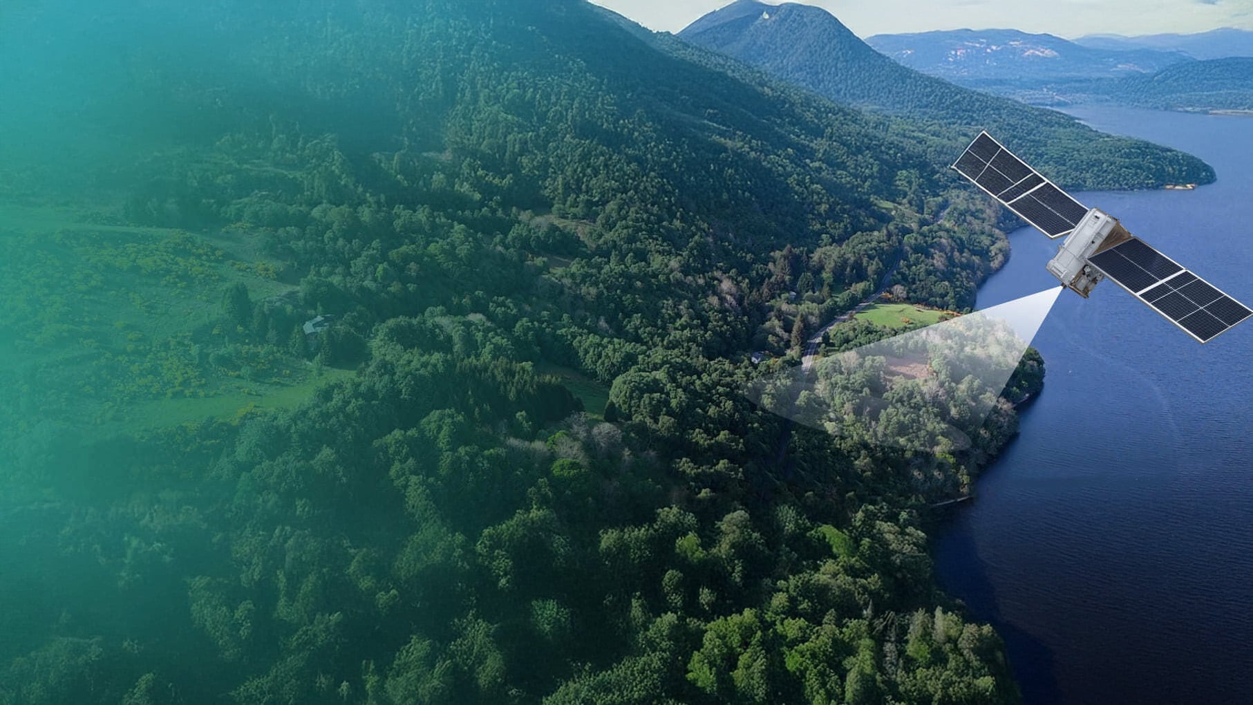
The project brought together DUAL's specialist underwriting expertise with CATALYST’s advanced Earth Observation capabilities. The result is a platform that uses satellite imagery and machine learning to classify habitat types, detect land cover change over time and generate biodiversity metrics aligned to UK regulatory frameworks including BNG and TNFD.
The platform integrates commercial optical satellite imagery, processed through automated cloud-based algorithms developed by CATALYST. Outputs include habitat classification maps aligned to UK Habitat Classification (UKHab) categories, change detection layers and ecosystem health indicators all accessible via an interactive web-based dashboard with export and API functionality for integration into insurance workflows.
The pilot monitored multiple sites across the UK and achieved Technology Readiness Level 8, confirming the system’s operational readiness for deployment.
Benefits
Satellite-derived assessments have the potential to significantly reduce the cost and time associated with traditional ecological field inspections, while providing higher-frequency monitoring that can be tailored on a site-by-site basis. Reporting can be updated quarterly, annually or on an ad-hoc basis to support the claims process, a flexibility that is difficult to achieve with conventional field surveys.
With over a decade of archival satellite imagery available across the UK, insurers can also review historical land conditions to build a richer understanding of site-level risk, enabling more informed underwriting decisions and supporting compliance with environmental obligations.
The solution supports DUAL's expanding range of environmental insurance products and will continue to be developed as a tool for biodiversity-linked underwriting, performance monitoring and nature-related risk assessment.
Simon White, Lead Underwriter, Climate Risk and Resilience, DUAL UK said:
“Nature-related risk is increasingly something that can be monitored and measured, opening the door to new ways of underwriting and managing nature-related exposures. DUAL was delighted to lead in this pilot which demonstrates how combining satellite analytics with machine learning can translate biodiversity impacts into decision-ready insight, enabling more consistent, auditable monitoring at scale. For insurers and asset owners, this provides a more credible foundation for risk transfer, disclosure and, ultimately, long-term resilience.”
June McAlarey, President & CEO, CATALYST (a PCI Geomatics brand) said:
“Biodiversity Net Gain compliance requires costly, time-consuming field surveys that are difficult to standardise across large portfolios. By combining satellite analytics with machine learning, we can now deliver habitat monitoring at scale reducing the need to conduct systematic field surveys cutting survey costs by up to 50% while generating the kind of consistent, auditable data that insurers, asset managers and regulators actually need. This isn't just an efficiency gain; it's the foundation for an entirely new class of nature-linked financial products.”
CATALYST INSIGHTS

CATALYST OnBoard

CATALYST Professional

CATALYST Enterprise
