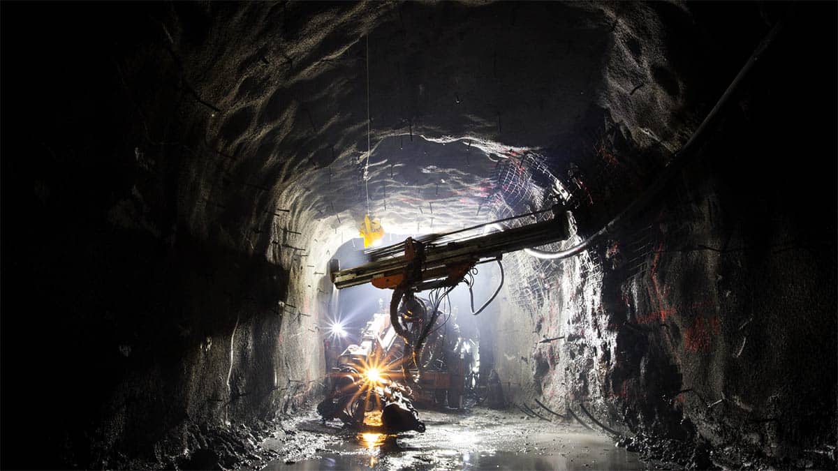
Mine Shift: The Williamson Diamond Mine In Tanzania
On Monday 7 November 2022, a significant 150m wide breach impacted the eastern wall of the tailings storage facility at the Williamson diamond mine in Tanzania.
Read more
CATALYST Simplifies Access to Science Ready SAR Data on Microsoft’s Planetary Computer
In 2022, CATALYST and Microsoft announced an exciting new collaboration. One that would see more scientists, researchers, and decisions makers around the world get access to earth observation data than ever before. This is the story […]
Read more
Providing landslide early warning data in La Baie using CATALYST InSAR
When authorities in Quebec were alerted to the significant risk of landslides in the La Baie area, they immediately set in motion measures to protect lives, property and infrastructure. The problem was, the warnings were only […]
Read more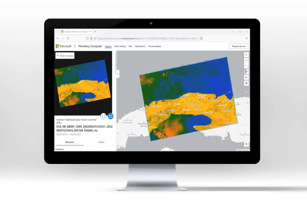
How a new Microsoft & CATALYST collaboration is changing the way earth data is accessed around the world
This is the story of how Microsoft and CATALYST changed the way scientists, researchers and decision makers around the world could access earth data visualisation and analysis. It was achieved through a truly collaborative approach in […]
Read more
KSAT advances to sensor agnostic automated services to support multi-mission projects
Looking to modernize delivery of high quality imagery faster, KSAT found their solution with CATALYST. Developing a brand new, custom ortho-mosaicking workflow, with pan-sharpening capabilities – CATALYST was able to quickly deliver an efficient solution. The […]
Read more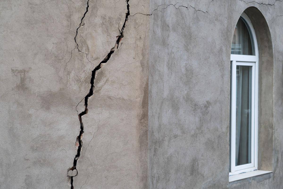
PG Ventures Harnesses CATALYST Data Through AWS Data Exchange to Build Innovative Environmental Monitoring Tool
PG Ventures, the digital innovation arm of TSR Poland, discovered the powers of CATALYST’s ground displacement data when exploring solutions to address issues related to abandoned mines. What followed was a collaboration – made possible through […]
Read more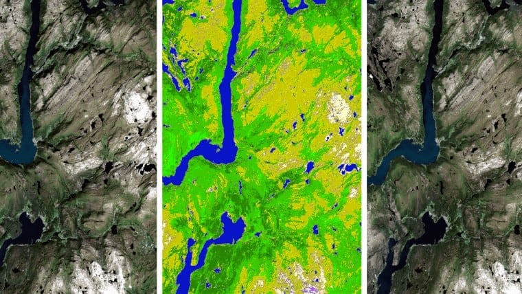
Canada Applies Open Data Cube to Assess National Land-use Change
Canada’s Pollutant Inventories and Reporting Division (PIRD), a division of Environment and Climate Change Canada (ECCC) faces the massive task of creating a greenhouse gas inventory for the entire nation. A key part of this analysis […]
Read more
EOfactory Scales Up Earth Image Processing on the Cloud
EOfactory scales up to provide geospatial users nearly limitless image processing capabilities using CATALYST Microservices Platform. Results: A nation-wide orthorectification of 10,000 images that now takes three days will be finished in five minutes with CATALYST […]
Read moreHow a leading space agency is preparing for the future of image analytics
What is our country’s estimated crop yield this year? How much food will we need to import? Will we have enough water for our nation’s needs? How can we expect our cities to expand? What new […]
Read moreObject Analyst Feasibility Study on Per Parcel Stormwater Taxation
CATALYST has a full set of object-based image analysis (OBIA) tools that can be used to quickly and accurately extract impermeable land area on a per parcel basis. Imagery is segmented based on the shape and […]
Read more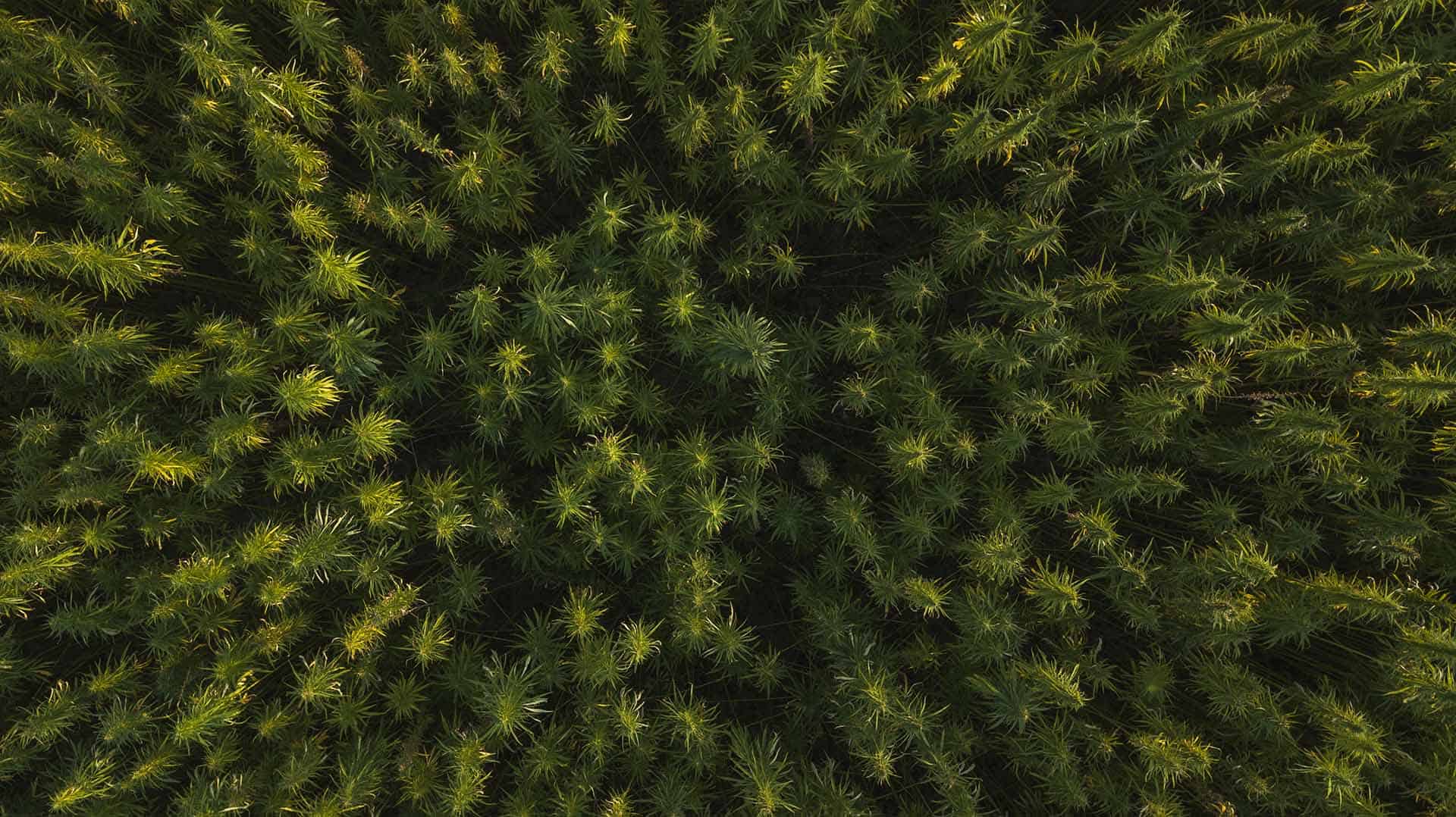
ILLICIT CROP MONITORING
The United Nations Office on Drugs and Crime (UNODC) operates several projects that provide detection data to governments where illicit crops are grown including Colombia, Peru and Bolivia (for coca), Afghanistan, Laos, and Myanmar (for opium), […]
Read more
Using InSAR for Steam Injection Monitoring in Cold Lake, Alberta
Leveraging CATALYST InSAR processing expertise, RADARSAT-2 imagery was processed to detect and derive displacement using natural targets and corner reflectos in Cold Lake, Alberta. Results: Using commercially available data such as RADARSAT-2 and TerraSAR-X, Geomatica InSAR […]
Read more