This is the story of how Microsoft and CATALYST changed the way scientists, researchers and decision makers around the world could access earth data visualisation and analysis.
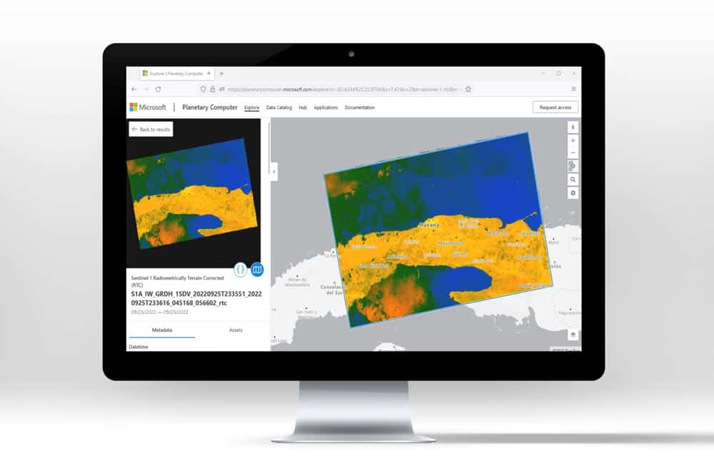
It was achieved through a truly collaborative approach in which global multi-temporal Sentinel-1 layers with RTC would be made available through the Microsoft Planetary Computer.
Find out how we did it and the impact its having on ecosystems around the world by downloading our case study here.
Results
- All archive images collected by Sentinel-1A and 1B have been corrected to RTC processing levels
- At a minimum, each location on Earth observed est.230 times
- Many areas collected in both ascending and descending pass directions
- Data streamed as Cloud Optimized GeoTIFFs (COGs) to create new applications and change detection analyses
- All processed imagery has been catalogued using the SpatioTemporal Asset Catalog (STAC) specification standard
- Users of the Planetary Computer have performed searches against the RTC dataset over 1.7 million times since its launch.
For Industry
- Analysis ready imagery accessible for free with a registered account
- Possibility of newer, faster, and more effective risk management strategies through active monitoring of sites and assets
- Near real-time decision making to respond to changes in ecosystems or other natural environments
- Seamless integration of cloud based, large-volume imagery processing without need for installation or configuration.