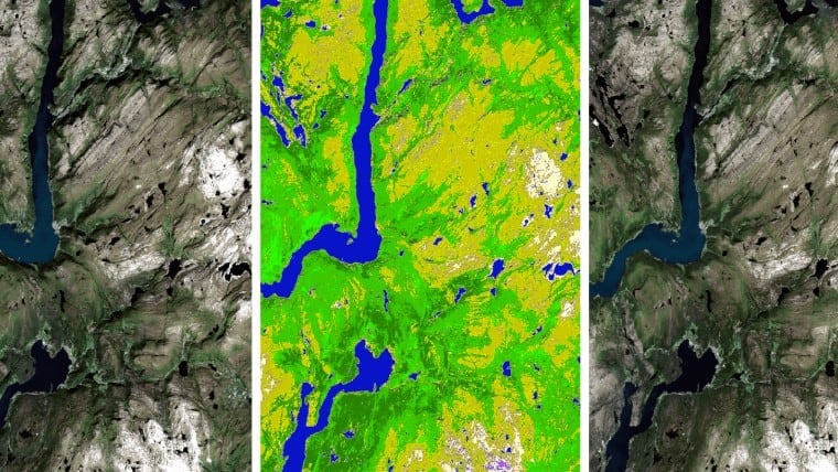
Canada’s Pollutant Inventories and Reporting Division (PIRD), a division of Environment and Climate Change Canada (ECCC) faces the massive task of creating a greenhouse gas inventory for the entire nation. A key part of this analysis is the use of remotely sensed data to quantify areas of land-use change to calculate CO2. In this pursuit, PIRD has partnered with CATALYST on a project that leverages Open Data Cube technology to enhance the efficiency, accuracy, and granularity of analyzing enormous volumes of multi-temporal remote sensing data on a nationwide scale.


The biggest challenge is monitoring change in a land sector the size of Canada. It's difficult to capture all the diverse changes that happen across the Canadian landscape.
Doug MacDonald, PhD, manager of the Land Use Section