
Results:
The UNODC makes use of some of the latest functionality in Geomatica including the Smart GeoFill tool to perform operations such as cloud patching. Combined with extensive airborne verification and integration of other sources of information, the UNODC has developed one of the most operational and efficient illicit crop monitoring systems.
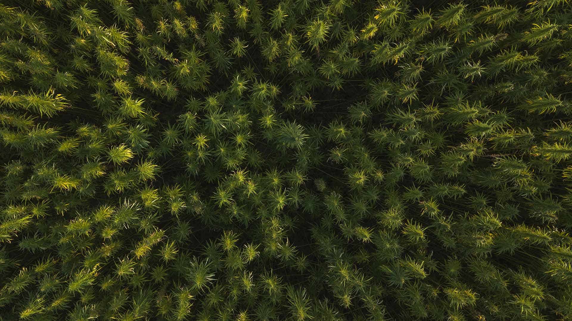
Methodology
The UNODC makes use of Geomatica for several important steps in collecting information from earth observation for illicit crop monitoring. Mosaicking is performed using the best available and most recent imagery from Landsat using OrthoEngine.
About Catalyst
CATALYST is a PCI Geomatics brand, which has been introduced to put our leading edge technology into the hands of decision makers. We’re a startup – with hundreds of algorithms, scalable solutions, and decades of experience.

Remote sensing technology plays a critical role in identification of illicit crops, and software such as Geomatica has been used in some of the countries listed above. The SIMCI project in Colombia leverages open source data and proven image processing methods in combination with expert knowledge and annual overflights over sample areas to estimate the extent of the coca plant growth.