Catalyst.earth Logo
Catalyst.earth Logo

CATALYST Professional

Designed for today's top geospatial professionals

REMOTE SENSING.
PHOTOGRAMMETRY.
EARTH OBSERVATION SCIENCE.

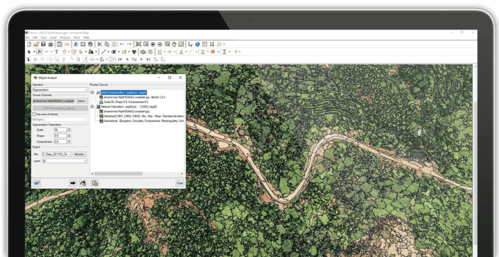
Satellite image of Manhattan at nightImage showing CATALYST Professional on a laptop screen

THE CONFIDENCE TO DO MORE
Our rich set of capabilities are deeply rooted in science, well-tested, fully documented, and supported by our in-house team of experts.
REDUCE COSTS, NOT QUALITY
Reduce manual effort, time and ultimately costs by automating more of your workflow and reducing your QA/QC steps.
PROTOTYPE TO PRODUCTION
Use our interactive environments to prototype workflows. Then automate and scale them with the right subscription option.

We help you deliver a better understanding of our world.

CATALYST Professional is the world’s leading geospatial desktop suite, specializing in Remote Sensing, Photogrammetry & Earth Observation Science for optical, and SAR imagery.

Easily integrate our powerful image analysis, ortho-mosaicking, and image processing capabilities into your geospatial technology stack.

Photogrammetry & Mosaicking​

When precision matters, leading geospatial professionals trust our innovative and robust ortho-mosaicking workflows for satellite and aerial imagery.
Read More
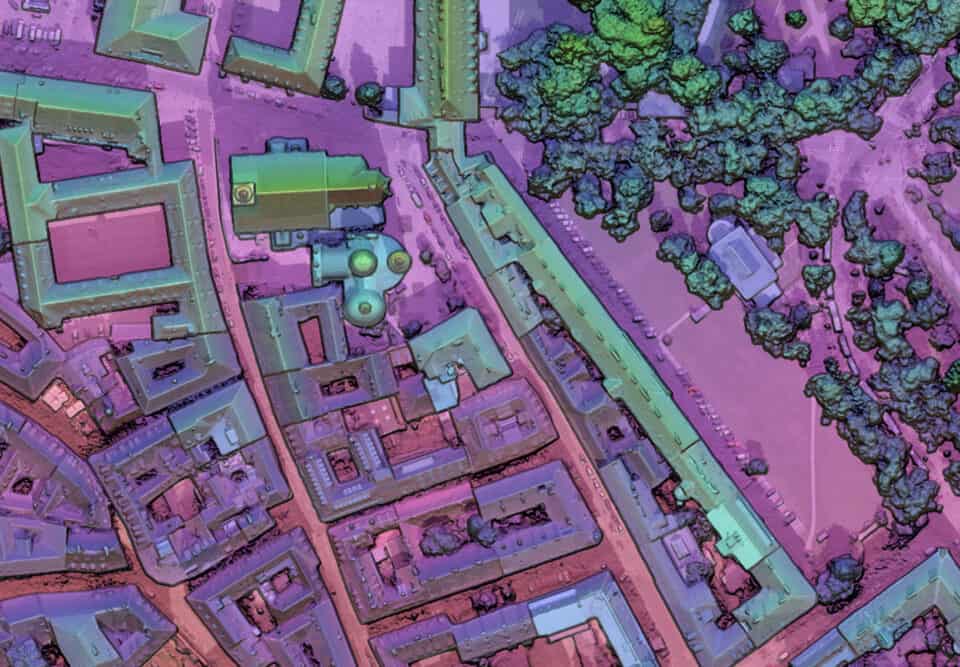
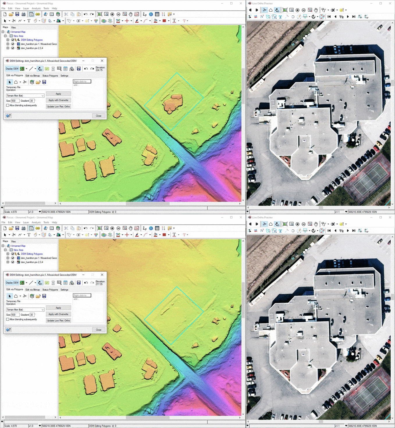
Image showing CATALYST Photogrammetry results

Image Analysis

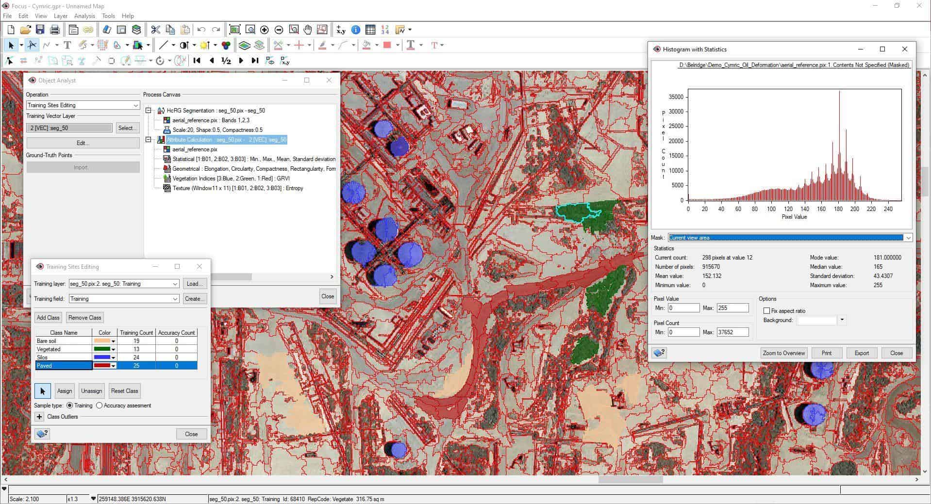
Turn your pixels into meaningful information with advanced image analytics and image classification solutions, supported by machine learning and powerful processing algorithms that get you better results, faster.
Read More
Image of an OBIA Session

SAR & InSAR

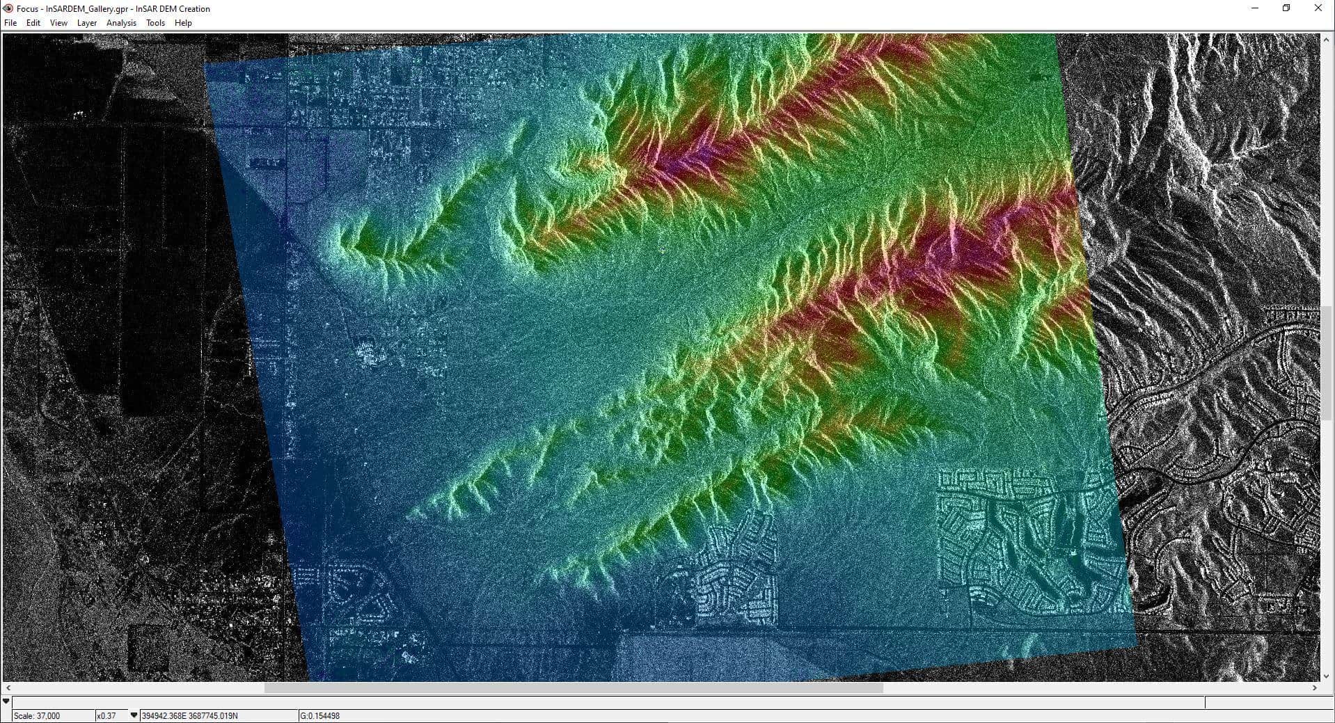
See through clouds, detect change, and easily combine with optical datasets to create valuable geospatial insights.
Read More
Example of an INSAR image

Responsive and Intuitive Interface

Our visual representations, and responsive tools optimize your workflows, minimize manual effort, and maximize the quality of your deliverables.
Animation showing editing in CATALYST Insights

Automation & Integration

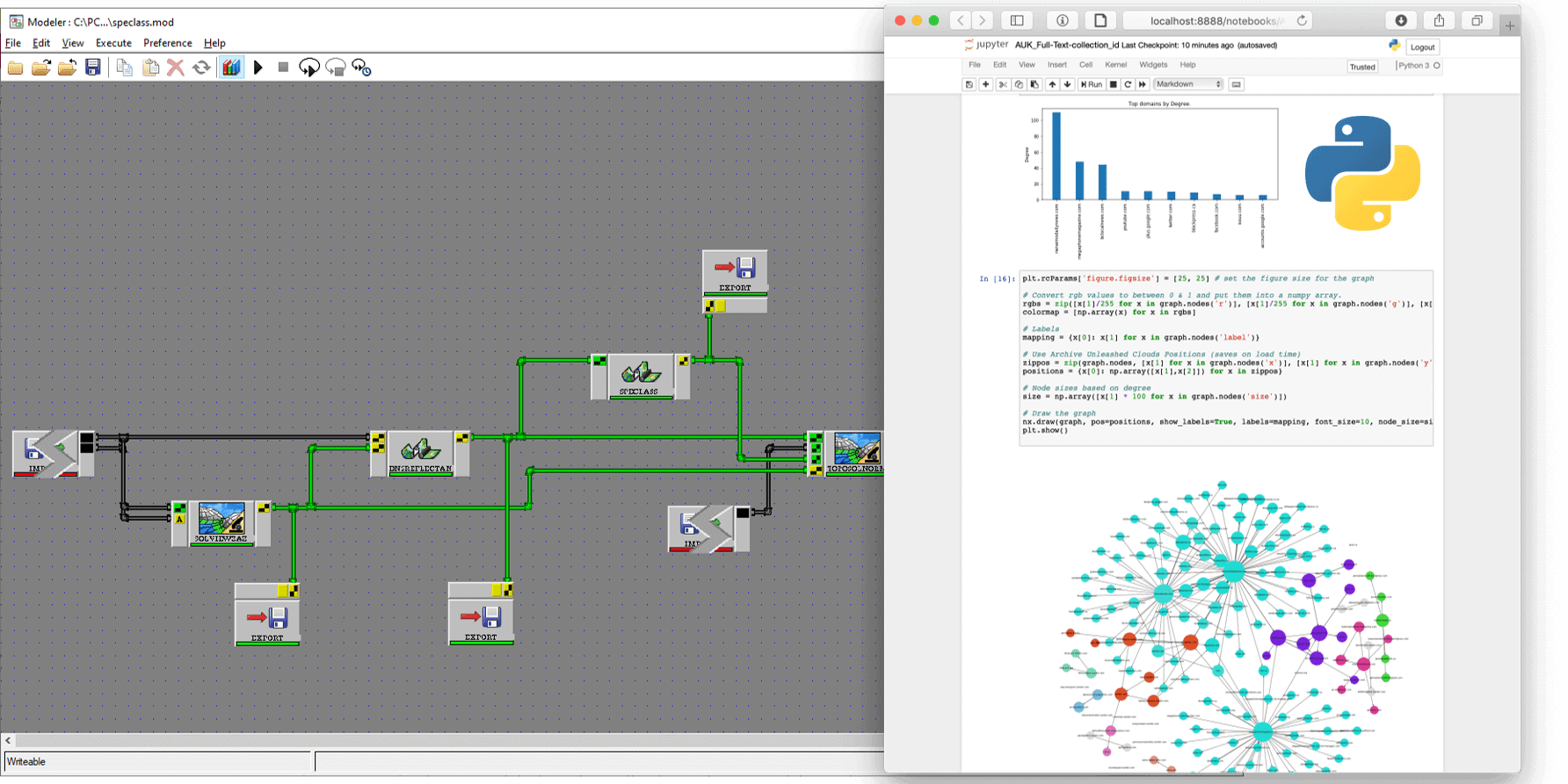
Access over 745 plug-and-play algorithms through our Python API and interactive environments to build your own end-to-end and integrated workflows.

Diagram explaining the automation set up of CATALYST Professional
Industry leading support for imagery captured from satellite and aerial platforms

Optical & SAR

Turn imagery acquired by over 50 optical and SAR satellite sensors into valuable information

Digital-frame, Pushbroom & Historical

Deliver the most accurate and precise surveys and maps from digital-frame, pushbroom cameras, even historical airphotos

Full Sensor Support

CATALYST Professional At Work

See how CATALYST users across the globe are deploying our technology to support their business objectives.

Get started today

Our competitive plans remove the traditional barriers of accessing professional software for processing and analyzing earth observation imagery and is trusted by thousands of geospatial professionals from around the world.

User Personas

See who typically uses CATALYST Professional
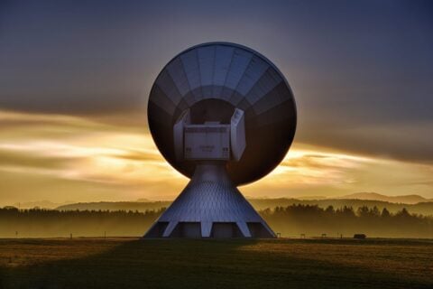
Image of a large ground based satellite receiver
Geospatial Service Providers​
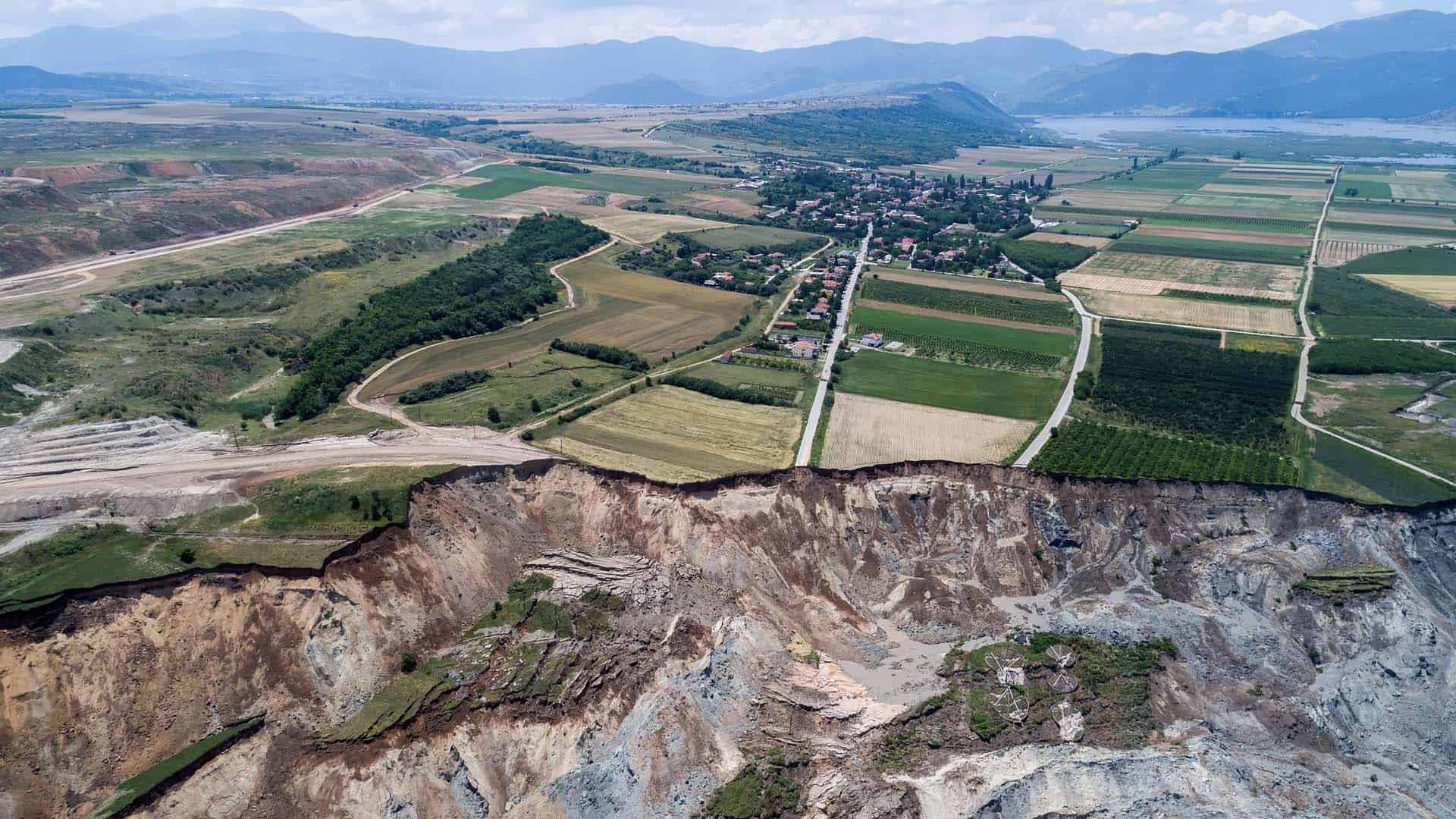
We help government & commercial organizations that provide information or production services deliver better results at a lower cost.
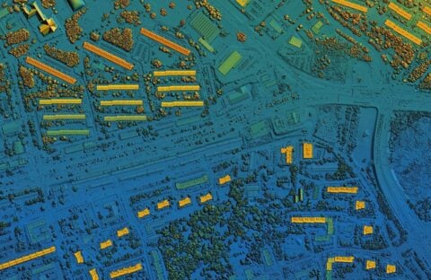
Digital elevation model. GIS product made after proccesing aerial pictures taken from a drone. It shows city urban area with roads and suburbs
Geospatial Researchers
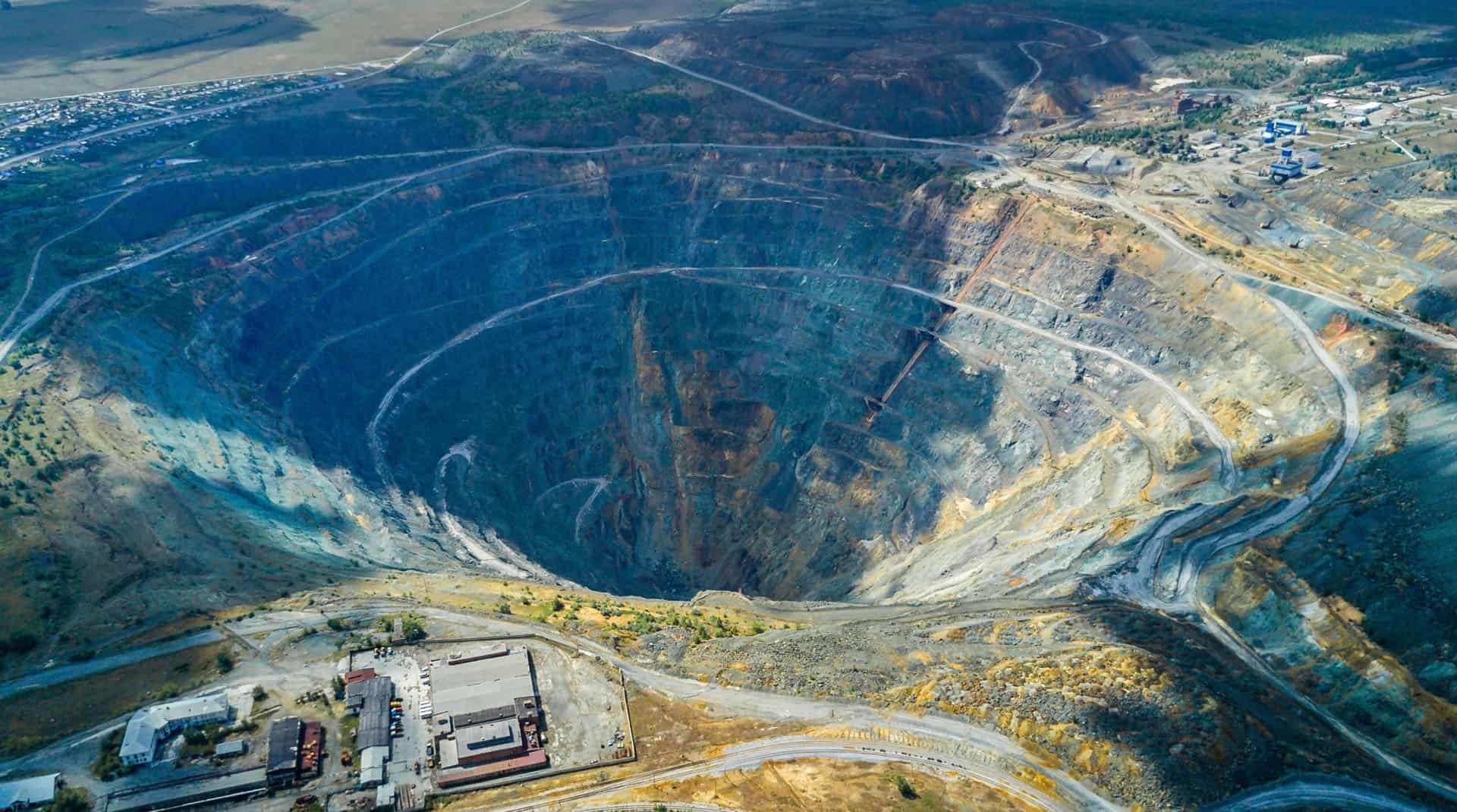
Many of the top geospatial research centers around the world are advancing earth observation science with Catalyst Professional.
Image of planet earth with a data layer overlay
Academia
Access our updated Education Suite and experience our powerful SAR analysis modules including InSAR and Polarimetric SAR.
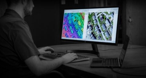
Image of a person integrating CATALYST Professional
Integrators & Developers
We help government & commercial organizations that provide information or production services deliver better results at a lower cost.
envelopephone-handsetcross