Our Expertise
Image Processing Optimization
CATALYST helps Earth Observation (EO) Image and Analytics providers build new and augment existing workflows to improve quality, accuracy and scalability.

CATALYST is a leader in optical and SAR sensor
support for satellite and aerial platforms.
- 80+ Optical Satellites
- 20+ SAR Satellites
- 7 Optical Aerial Systems
Speak with us about supporting your sensor
Preprocessing solutions to improve optical and
SAR image quality and accuracy
Highlights:
- Band Alignment
- Radiometric Terrain Correction (SAR)
- RPC Accuracy Improvements
- Much more
Highly accurate and automated value added
image processing solutions
Highlights:
- Orthorectification
- Mosaicking
- DEM Extraction
- Atmospheric Correction
- Much more
Save time with our automated and interactive quality control solutions
Highlights:
- Fully Automated Ortho Accuracy Assessment
- Semi-automated DEM QA/QC
- Democratized Mosaicking QA/QC
- Much more
Advanced machine learning and image analytics
Highlights:
- Feature Extraction & Object Analysis
- Coherent Change Detection (SAR)
- Image Compositing
- Displacement Mapping (SAR)
- Much more

CATALYST is a leader in optical
and SAR sensor
support for
satellite and aerial platforms.
- 80+ Optical Satellites
- 20+ SAR Satellites
- 7 Optical Aerial Systems
Speak with us about supporting
your sensor
Preprocessing solutions to
improve optical & SAR
image quality & accuracy
Highlights:
- Band Alignment
- Radiometric Terrain
Correction (SAR) - RPC Accuracy
Improvements - Much more
Highly accurate and automated value
added image processing solutions
Highlights:
- Orthorectification
- Mosaicking
- DEM Extraction
- Atmospheric Correction
- Much more
Save time with our automated and
interactive quality control solutions
Highlights:
- Fully Automated Ortho
Accuracy Assessment - Semi-automated DEM
QA/QC - Democratized Mosaicking
QA/QC - Much more
Advanced machine learning
and image analytics
Highlights:
- Feature Extraction
& Object Analysis - Coherent Change
Detection (SAR) - Image Compositing
- Displacement Mapping
(SAR) - Much more
EO Image Processing News & Highlights
Risk Mitigation Solutions
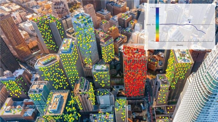
CATALYST delivers risk mitigation data-as-a-service (DaaS) solutions across industry applications to enable faster and sustainable business decisions.

Risk Mitigation News & Highlights


Why Use CATALYST
For Image Processing
CATALYST delivers sensor and cloud agnostic image processing SaaS solutions for the entire Earth Observation value chain. Our capabilities are embedded in thousands of workflows worldwide, helping businesses deliver higher quality imagery products, while cost-effectively scaling their production in near real-time with demand.
For Risk Mitigation
CATALYST enables businesses to easily integrate satellite data into their existing technology stack and reliably monitor and identify risk in their assets and critical infrastructure. Using the same trusted algorithms in our image processing solutions, businesses can generate new analytics from our DaaS solutions to make better, sustainable decisions, faster.


How We Work With You
How We Start
How We Deliver
How We Price
How We Ensure Success
Our Customer Success team provides industry leading technical support and regular business reviews to ensure we remain aligned and continue to add value