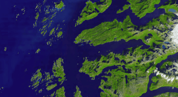
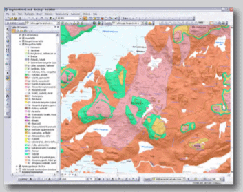
Results:
Catalyst’s GeoImaging Tools provides ArcGIS users with a suite of tools for processing and analyzing imagery in the GIS. Catalyst is introducing a suite of modules that integrate directly into ArcGIS for achieving common image related tasks.
Norwegian Geological Institute
NGU is an agency within the Norwegian Trade and Development department and is its central national institution for information about bedrock, mineral resources, soils and groundwater. http://www.ngu.no/no/hm/Norges-geologi/Berggrunn/
About Catalyst NGU
CATALYST is a PCI Geomatics brand, which has been introduced to put our leading edge technology into the hands of decision makers. We’re a startup – with hundreds of algorithms, scalable solutions, and decades of experience.

Just as the NGU was getting ready to abandon the idea of using the ASTER imagery, Nils Erik Jørgensen from Terranor ( www.terranor.no – Catalyst reseller based in Norway ) contacted the NGU to discuss new technology introduced in the marketplace by Catalyst. The NGU knew about Catalyst’s strong reputation for providing rigorous and automated multi-satellite sensor support, and was delighted to hear that Catalyst had developed an extension to ArcGIS 10 – this meant there was the potential to implement a more streamlined workflow.

