CATALYST.Earth

Enterprise

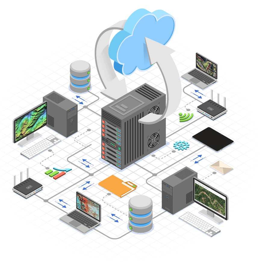
Scalable production system for repeatable earth observation image processing workflows of any size

Reduce operating costs

Scalable production system for repeatable earth observation image processing workflows of any size

Low cost of entry

Our attractive and flexible subscription and deployment options make Catalyst Production the best choice for operations of all sizes that are looking to scale

ScalABLE Production

Easily manage surges and decreases in production demand by scaling your image processing capacity up and down with our on-demand cloud solutions ​

Optimize your production operations

CATALYST Enterprise is the premier Earth observation image processing production system. Designed to optimize and automate image processing pipelines of any size, as an end-to-end or integrated solution.

Features

Delivering Outstanding Results

Analysis-Ready Data (ARD)

Our automated Analysis Ready Data (ARD) workflows convert your acquisitions and archives of satellite imagery into rich stacks of actionable geotemporal information.

Base Map & Value-add Production

Scale our ortho-mosaicking and value-added workflows across your cores and servers or on the cloud to meet your real-time production demands.

Continuous Monitoring

Run CATALYST Enterprise as a background process to automatically trigger Earth observation image processing workflows around an event, such as the acquisition of new imagery over a specific area.

Reliable On-Demand Production

Quickly and reliably spin up workflows to generate geo-intelligence to meet short timelines and needs. Perfect for emergency response and defense.

Catalyst

Many cost-effective and scalable production options

Subscriptions

Monthly and annual subscription options with full support - perfect for any budget

Cloud

Deploy or access our technology on the cloud to bring our powerful algorithms closer to your data

On Site

Our customer success team works closely with you to implement, integrate, adopt, and achieve success

By CoreS

Start with just a few processing cores, then add new cores to meet your growing production demand

On Demand

Easily handle surges and slow downs in production demand by scaling up and down as needed (Cloud only)

User Personas

See who typically uses CATALYST Enterprise

Governments

We help defense, national, state, and municipal departments around the world, automate and accelerate their EO image processing workflows, such as creating base maps, monitoring change, creating land use maps, measuring change, analyzing disasters, responding to emergencies, and more...

Imagery Providers

We work with many of the top providers of satellite and aerial imagery to help them generate value added products, such as DEMs, ortho-images, mosaics, and now analysis-ready imagery (ARD). Note: ARD is only available for generating surface reflectance from satellite imagery

Contractors

Many government agencies outsource their map production activities to private contractors. We help many of these private contractors reduce their operating costs through automation and production capacity management.

Ground Stations

Catalyst Enterprise is an important part of many GRS workflows, integrating into the main processing chain. Catalyst Enterprise provides a scalable integrated solution for creating level 3 ortho images and other value added products from level 1 imagery.

Get started today

Speak with one of our expert solution consultants to find the CATALYST Enterprise solution that is perfect for you.

AT WORK

Featured case studies

See how Catalyst users across the globe are deploying our technology to support their business objectives.​