CATALYST has added support for PhaseOne's IIQ format for faster, more powerful processing of large aerial projects.
With the most recent release of the company's CATALYST Enterprise software, aerial customers that process large volumes of PhaseOne imagery will benefit due to the native implementation of the Intelligent Image Quality (IIQ) data format.
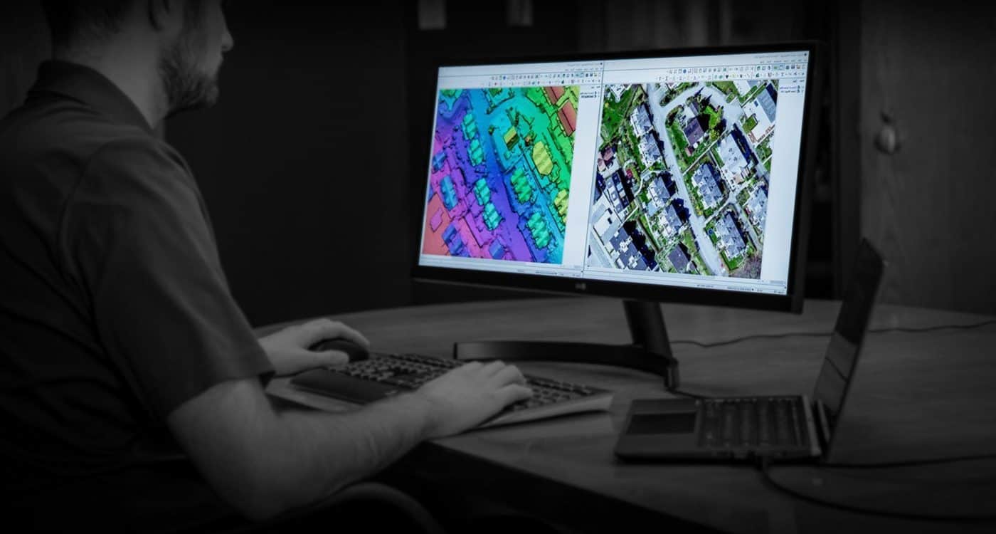
CATALYST now leverages the PhaseOne Image SDK to decompress and convert compressed IIQ images. The main benefit of this change includes reduced reliance on ingestion and format conversions within the CATALYST environment, as well as speeding up processing times. Operational testing of our workflows has shown 2X speed improvements for typical PhaseOne 150 aerial datasets, shaving critical time off large volume processing projects.
"Processing times within CATALYST Enterprise will greatly benefit from this new implementation" said Ewoud van der Cruyssen, Technical Manager at Kavel10. "This means we will be able to more efficiently allocate resources, and deliver products to our customers more rapidly", he added.
As important as the processing time is the streamlined user-workflow. Eliminating the unnecessary step of converting the IIQ images to an exchange format like TIF, means users can automate their processing from start (raw sensor data) to finish (image-derived products) from within CATALYST Enterprise.
"This smart image format, which contains all details and content within a High Dynamic Range, is a response to the significantly growing Geo market, to acquire more data with less concern on storage and data sharing”, said Mohsen Miri, Director of Strategic Partnerships at PhaseOne.
"CATALYST continues to invest in the development of technology to improve aerial data processing", said Kevin Jones, Chief Product Officer at CATALYST. "Our customers are increasingly using PhaseOne's camera systems for efficient mapping, therefore we have added extended support to ensure we continue to add value to their operations", he added.
CATALYST continues to develop a powerful, unique aerial processing software package that is used by several leading aerial data providers globally. The system was built for on premise scaling, and can also be deployed to the cloud. Customers choose CATALYST Enterprise technology due to its quality, scalability, and ease of use.
Together with PhaseOne, CATALYST will be demonstrating the PhaseOne integration at the upcoming Intergeo expo, being held in Frankfurt, Germany from October 6-9, 2025.
Find out more: CATALYST Enterprise
CATALYST INSIGHTS

CATALYST OnBoard

CATALYST Professional

CATALYST Enterprise
