CATALYST Microservices is now CATALYST OnBoard.

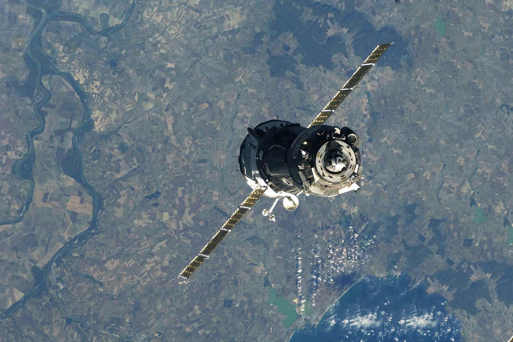
CATALYST OnBoard represents the value of incorporating our sensor-agnostic workflows earlier in the satellite design phase to increase imagery yields and commercially ready data products, avoiding costly post launch delays.
Several key challenges small sat constellations face include the inability to process imagery at volume, efficiently and and cost effectively when they use traditional or “home grown” processing techniques.
With OnBoard, workflows can be configured, containerized, embedded into production and tested before launch to ensure maximum yields.
By leveraging the cloud, automated image assessment and 40 years of proven science, OnBoard’s workflows can accelerate processing speeds by 15x as compared to in-house functionality.
For example, 10,000 images can be processed in just 19 hours compared to 15 days with traditional processing
When every minute in orbit counts, increasing the capacity and maximizing the yield of a satellite is critical.
Read about the technology and benefits of CATALYST OnBoard for your next mission here.